Meteorológiai esélylatolgatások

As I have written in recent posts, the anomalous wave pattern in the mid-troposphere has been 180° out of phase with the climatological wave pattern. Strong destructive interference between the two is resulting in below normal upward Wave Activity Flux (WAFz) or poleward heat transport (Figure 11). Below normal poleward het transport has allowed for the PCHs to cool in the stratosphere and for the stratospheric PV to strengthen next week (Figure 12). I believe this is a critical juncture in the winter with two divergent most likely paths. One possible path is that a troposphere-stratosphere-troposphere cycle is commencing that favors cold PCHs, a strong PV and a positive AO. The likely impact on the NH weather would be an upcoming mild period (as predicted by the weather models) followed by a possible brief return to colder weather before the mild period returns sometime in January and lasts much of the remaining winter months. This scenario is the one that I consider suggested by the most recent PCH forecast.
Utolsó észlelés
Térképek
Radar
Aktuális hõmérséklet
Aktuális szél
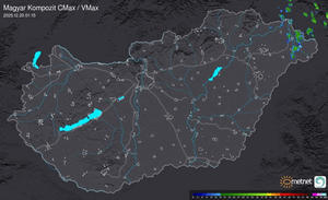
Utolsó kép

Indul a MetNet előrejelzési verseny sorozatának 40. sorozata
MetNet | 2024-05-03 15:08
Szabályzat